Data sources & methodology
Every number rendered on this site is either computed from a published geometry formula or quoted from a verified primary source — no estimates, no interpolations, no unsourced statistics.
Data as of .
Computed metrics
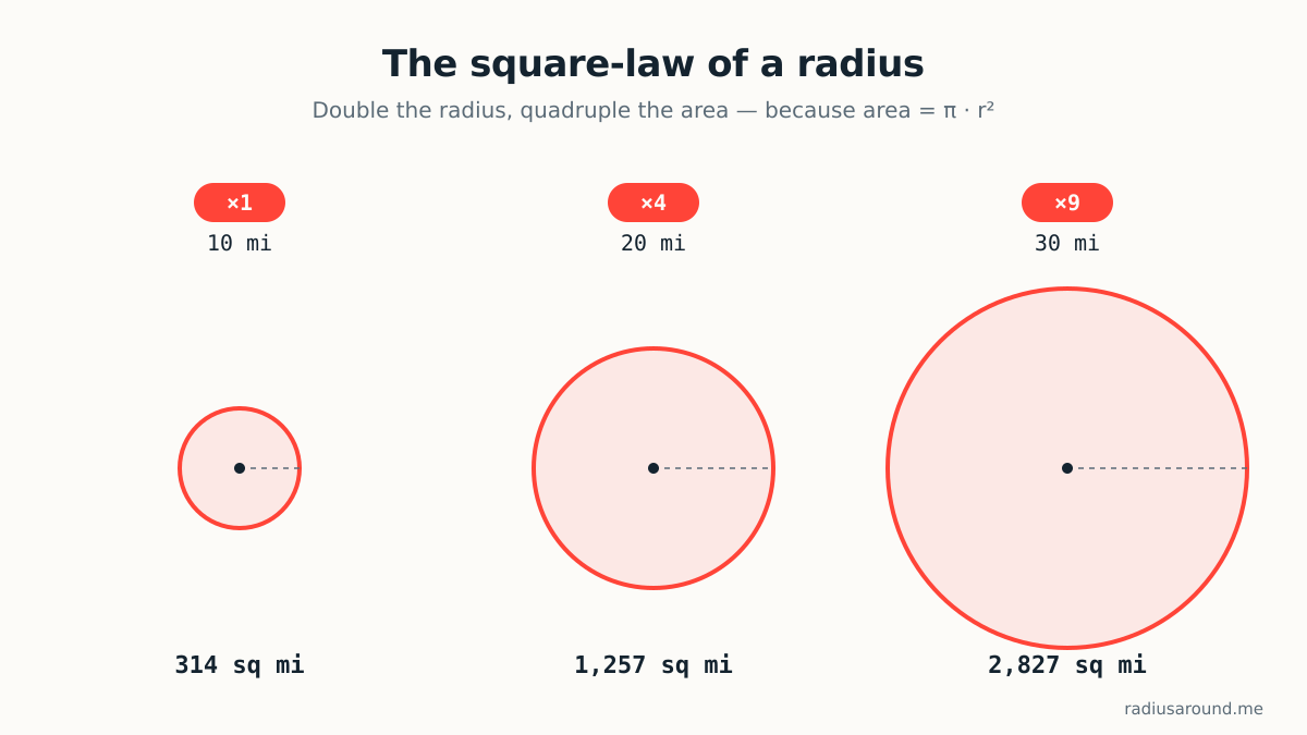
The homepage renders four values, each derived from your chosen radius:
- Area = π · r² — surface area enclosed by the circle. In square miles when radius is in miles; square kilometres when radius is in kilometres.
- Circumference = 2 · π · r — the length of the boundary.
- Reach = r — straight-line distance from centre to any point on the edge.
- Unit conversion: 1 mi = 1.609344 km (international statute mile).
These are labelled as calculated values. Because they are derived from a single user input via published formulas, no external dataset attribution is required — but the formulas themselves are disclosed here so any user can reproduce the numbers by hand.
Basemap
The interactive map renders vector tiles derived from © OpenStreetMap contributors — a global, community-maintained geographic database.
- Publisher
- OpenStreetMap contributors (OpenStreetMap Foundation).
- License
- Open Database License 1.0 (ODbL) — data is free to reuse (including commercially) with attribution and share-alike on derived databases.
- Tile serving
- Self-hosted Protomaps PMTiles (extracted regional build) — the osm.org tile servers are not used, per the OSMF tile-usage policy. See our Protomaps extract runbook in the repo for the exact build steps.
- Attribution string
- © OpenStreetMap contributors — rendered on the map UI and in the site footer, both linked to the copyright page.
- Retrieved / next check
- Verified ; next scheduled re-check .
Not yet on the site — and why
Two features that a "radius map" is often expected to include are deliberately absent from this build, because their primary data sources are not yet verified end-to-end on our stack:
- Population inside the radius. Requires block-level population from the US Census (Decennial Census summary files) for US points and WorldPop gridded population for international points. Both are public and license-cleared; the point-in-circle summation pipeline ships when it has been verified against real samples.
- Drive-time (isochrone) reach. Requires a routing engine (OSRM or Valhalla) run on the OSM road network. The road data is license-cleared under ODbL; the routing engine itself is infrastructure that has not yet been stood up. The dedicated drive-time radius page (currently redirected to home) ships when a real isochrone sample is verified.
Rather than approximate either with an unsourced heuristic, the numbers are omitted. Progress on both is tracked in the site's data registry.
Author
Built and maintained by Marko Visic (MPharm, BSc Physics). Corrections or source suggestions: /contact.